The Kilmacrenan river holds it's level well after heavy rain and will still be runnable after other rivers in the area have dropped. It is best at high water levels. The river at medium to low levels is very severe on boats owing to the sharp nature of the river bedrock.
True, get on at high levels for a buzz and stay river right. Good play waves to be got if you got the nuts.
A lovely run that when running 'full bore' is as close to Alpine speed as one gets. Eddies are small and defined and need require positive paddling.
The first 50m provides a nice grade 3 warm-up section. Climbing down with the boat is sometimes a good enough warm-up. A small wave forms at the exit of the pool on this top section.
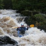
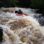
Immediately after comes a long and sustained rapid which provides the main interest of this run. Exit river right to run the rapid again of continue downstream for another 50 m to a small tailsquirt/cartwheel spot. The exit at this point is on river left through some rough shrubbery.
Rocks, and lots low trees on river left. The wall in river centre should be noted before getting on.
Park at start of bridge but do not block access to the builders yard as it is quite busy and they are usually quite civil to canoeists.
The lady at the house there came out to us, she is civil when talked to and explained as to why you are there. You can park in the petrol station beside it.
This guide has a gauge but no paddling levels yet.
If you have run it, you can help. Tell us the level it needs to be worth doing (Low), and the best and highest levels if you know them. Once an admin approves them, this guide gets level colours, a place in "Running now" and a count of paddle days per month.
Suggest levels for this guideLoading levels...
Written by paddlers. If you know this river, sign in and edit these notes. Changes are reviewed before they appear.
Stand on river left of bridge on downstream side. If the grass is covered then this is a nice level.
How high the river usually gets each day, from 8 years of readings (2018 to 2026)
| Month | Typical daily high | 8 days in 10 between |
|---|---|---|
| January | 0.667 m | 0.475 and 1.026 m |
| February | 0.706 m | 0.499 and 1.11 m |
| March | 0.563 m | 0.39 and 0.9 m |
| April | 0.474 m | 0.308 and 0.733 m |
| May | 0.4 m | 0.266 and 0.584 m |
| June | 0.463 m | 0.312 and 0.712 m |
| July | 0.485 m | 0.309 and 0.736 m |
| August | 0.528 m | 0.316 and 0.822 m |
| September | 0.536 m | 0.34 and 0.906 m |
| October | 0.681 m | 0.482 and 1.004 m |
| November | 0.679 m | 0.485 and 1.065 m |
| December | 0.741 m | 0.472 and 1.16 m |
How to read this graph. The line is the typical daily high; the shaded band covers 8 days in 10. This guide has no paddling levels yet.
Past levels are no guarantee of future conditions. Readings can be late or wrong: check the river on the day. Level colours, "Running now" and paddle days are a guide only, not a sign that the river is safe to paddle. Read about gauge data and levels.
Contains Irish Public Sector Information licensed under a Creative Commons Attribution 4.0 International (CC BY 4.0) licence (source waterlevel.ie, provided by the Office of Public Works).
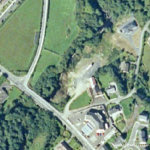
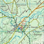
This is a short grade 4 section of the river Lennon located in the village of Kilmacrennan on the N56.
The put in is immediately at the bridge in Kilmacrennan with the take out 300m downstream.
Consistent and difficult to view the entirety as lots of over growth. Not sure very if this is paddled too often!
Take out on river right is through a builders yard or on left through heavy shrubbery.
Be careful of the hardcore/landfill tipped down the slope, consisting of loose boulders.
Interactive map loading...
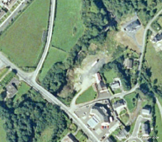
Lennon River
John S
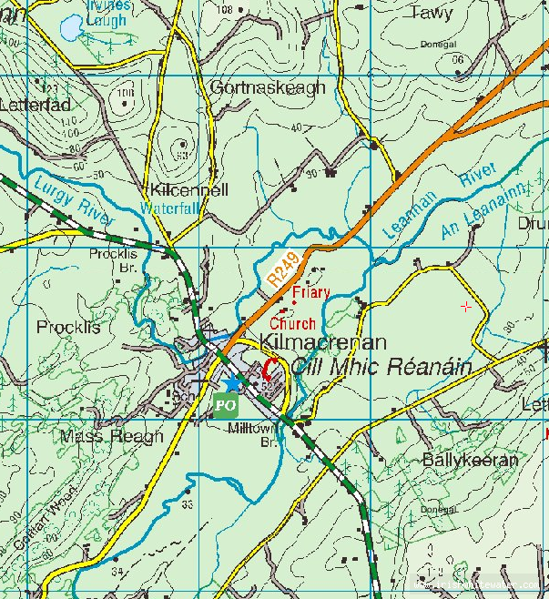
Kilmacrennan Map
John S