Carlow, Leinster Grade: 2 - 3 1.5 km approx
0.257 m steady No current reading or no levels setThe Slaney changes a lot depending on water levels. Its only short so have a look and see. Its easily scouted and protected.
It used to be used as a slalom site back in the day, Its rumoured that the legendary Richard Fox once raced here.
This is a great place for instructors to teach and assess Level 3 kayak skills. Or for intermediate groups looking for a step between grades.
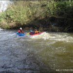
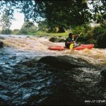
In high water there is a river wide glassy 2ft (640mm) wave at the get in. Then a short flat/deep section, then river splits into two channels, both are runnable but the river right channel is more entertaining. Then 1.2km of proper grade 3 until after the bridge.
No major hazard but in medium/high water a swim will be continuous and a wee bit sore (but the rocks are limestone and not too sharp).
No known issues. Tullow canoe club uses this spot quite a lot and have good relationship with the locals so be respectful and keep it that way.
This guide has a gauge but no paddling levels yet.
If you have run it, you can help. Tell us the level it needs to be worth doing (Low), and the best and highest levels if you know them. Once an admin approves them, this guide gets level colours, a place in "Running now" and a count of paddle days per month.
Suggest levels for this guideLoading levels...
Written by paddlers. If you know this river, sign in and edit these notes. Changes are reviewed before they appear.
To judge the river look upstream over the bridge, if you can see the sand on river right its lowish but still runnable. If the water under the bridge looks still, its is low but will still go. If you look on the down stream of the bridge, can't see any rocks, plus you see the big bouncy/surging hole its high/perfect level. The river Slaney rises in West Wicklow and drains of Lugnaquilla. A reasonable way is if you check the Annamoe river gauge and its at a middle level - the Slaneys height should not be too far behind (only a rough idea)
Live online river cam www.slaneyrivertrust.ie/
How high the river usually gets each day, from 7 years of readings (2019 to 2026)
| Month | Typical daily high | 8 days in 10 between |
|---|---|---|
| January | 0.435 m | 0.317 and 0.938 m |
| February | 0.496 m | 0.265 and 0.943 m |
| March | 0.409 m | 0.266 and 0.679 m |
| April | 0.29 m | 0.206 and 0.531 m |
| May | 0.257 m | 0.161 and 0.432 m |
| June | 0.233 m | 0.147 and 0.35 m |
| July | 0.228 m | 0.118 and 0.429 m |
| August | 0.226 m | 0.096 and 0.459 m |
| September | 0.23 m | 0.138 and 0.57 m |
| October | 0.405 m | 0.204 and 0.789 m |
| November | 0.488 m | 0.215 and 0.842 m |
| December | 0.462 m | 0.291 and 0.928 m |
How to read this graph. The line is the typical daily high; the shaded band covers 8 days in 10. This guide has no paddling levels yet.
Past levels are no guarantee of future conditions. Readings can be late or wrong: check the river on the day. Level colours, "Running now" and paddle days are a guide only, not a sign that the river is safe to paddle. Read about gauge data and levels.
Contains Irish Public Sector Information licensed under a Creative Commons Attribution 4.0 International (CC BY 4.0) licence (source waterlevel.ie, provided by the Office of Public Works).
Knocknatubbrid, Co. Carolw.
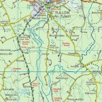
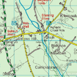
The get in/get out is approx 6km from Tullow, Co.Carlow. Starting from the Statoil Garage on the south side of Tullow situated on the N81. Continue to head south for approx 6km. Look out for the church spire on your left hand side, then at the next cross road turn left and continue straight for 1km.
When you hit the bridge you are there. There are residents on both sides of this narrow road so please don't be silly when parking. I suggest you park in front of the farmhouse boundary wall on the left on the grass verge as the owner was a kayaker back in the late 80's and is pretty cool.
Have a look over the bridge and you get a fair idea what to expect. To get to the put in you can walk along the river bank for about 1km approx, you will know when to stop. I have accessed the put in via the farmers yard but I have always made a point of to the owner and asking his permission.
Get out approximately 500 meters after the bridge.
Interactive map loading...
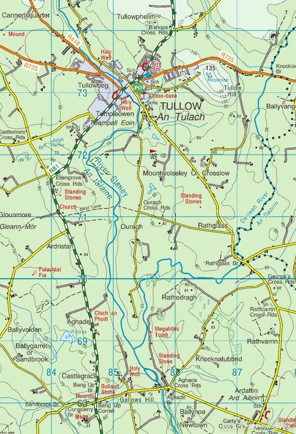
Slaney Co. Carlow
Peter
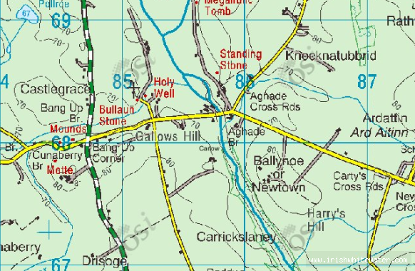
slaney map
Johno
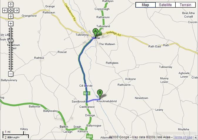
Google maps screen shot of directions from Tullow to get in.
Adrian Shanahan